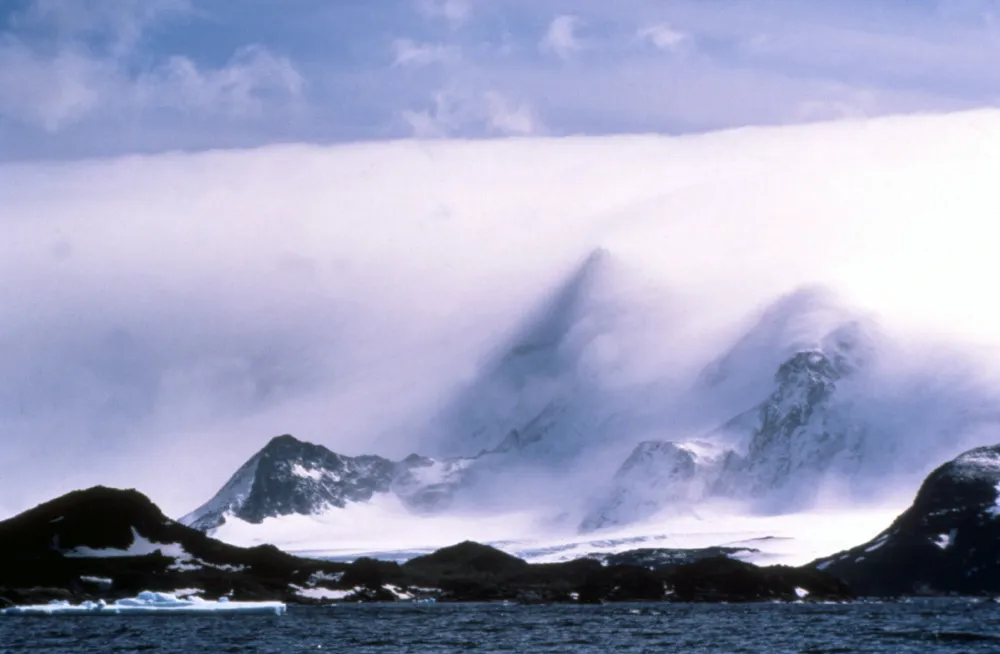
Föhn Bank
- Antarctic Weather Phenomena
A Föhn bank is formed by a Föhn wind. This is a warm contour-hugging wind that is blowing across Coronation Island in the South Orkneys group in this case. As the warm (relatively to the ice and rock) wind blows across the land, it causes snow and ice to sublime. That is to turn directly from a solid to a gas without passing through a liquid phase, so causing the cloud layer that can be seen - the same thing may happen when you open the door to your freezer and "smoke" comes out. The overall effect as seen from a distance is that the land is covered by a very large duvet. The gross contours can be seen through the cloud layer, but all of the finer detail is obscured.
Received from an "Antarctic met man":
The
Föhn effect is dominated by "blocking". Wind, approaching
a ridge, will either go up and over the ridge (normal) or
come to a stop and then flow round the sides. South Georgia
often experiences this
latter.
Which of the two (up and over or round the sides) depends on the temperature gradient (stability), and wind speed, (Web search Froude number for more technical description). If it's stable, the air at the ground is cold and "heavy" and wont flow up and over the top, it goes round the side. BUT, the air at the top of the ridge and just above the ridge, flows over and then down. Air aloft is already warm (because its stable, cold at the bottom), it then descends and gets even warmer and dryer ...a Föhn. South Georgia has these often. If the air is just between the flow round the sides (Froude > 1) of up and over (Froude < 1 ) you get waves, which make the lenticular clouds.
Previous
Next
Back to thumbnails
Photo credit - Paul Ward / coolantarctica.com

