 The
Liv and Shackleton Glaciers
The
Liv and Shackleton Glaciers
Antarctic
Regions - Maps and Pictures
Regional maps of Antarctica with photographs of the area.
Geography - map skills
Teacher file, maps + worksheet + answers
word document
pdf document
A high resolution zoomable map of Antarctica
here
Another zoomable Antarctic map, not quite so high
resolution but more visible features
here
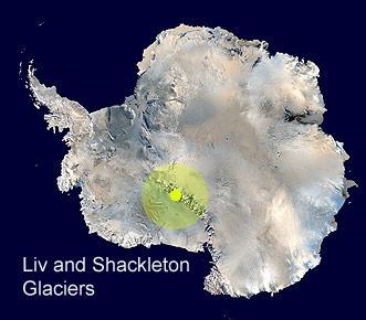
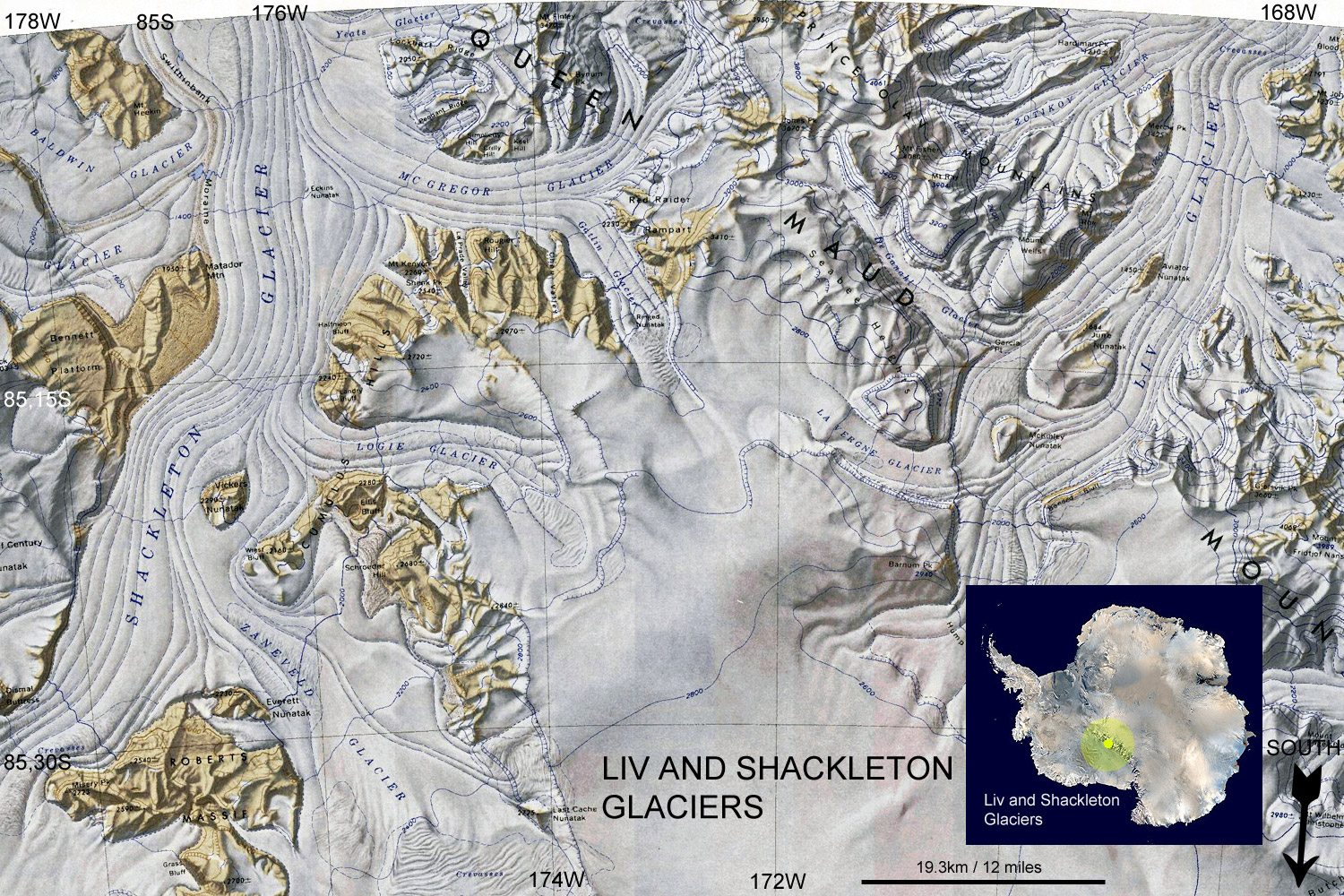
The Liv and Shackleton glaciers are situated at 84°35'S 176°20'W, about half way between the coast and the South Pole. They are in the Transantarctic mountains, a chain that stretches for 3.500km (2,200 miles), one of the longest mountain ranges on earth. The Liv Glacier is about 64 km (40 miles) long while the Shackleton Glacier is larger at over 96km (60 miles) long and 8 to 16km (5 to 10 miles) wide, both take ice from the Antarctic Plateau down to the Ross Ice Shelf.
The Liv Glacier was named on its discovery by Roald Amundsen during his expedition to reach the South Pole in 1911 for the daughter of Fritjof Nansen. The Shackleton Glacier was discovered by the U.S. Antarctic Service in 1939-41 and named for the Antarctic explorer.
The Liv and Shackleton Glaciers
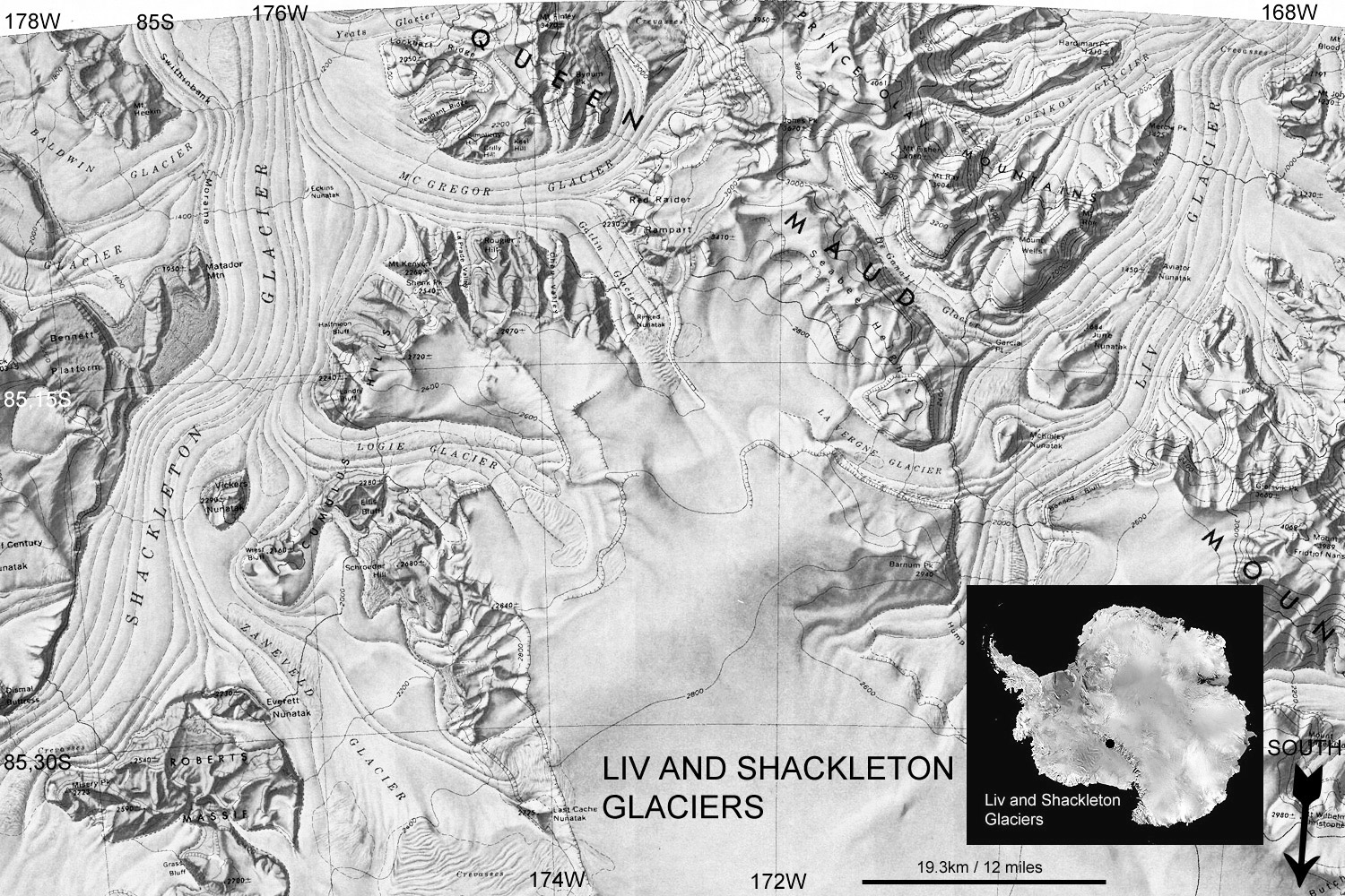
Black and white to print and copy

Liv nunataks. The two rock outcroppings in the lower right are mountain peaks, called nunataks. The lower one is June Nunatak, the one to the right is McKinley Nunatak.

The Shackleton Glacier has been used as a location for deep field seasonal camps for scientific researchers. From here scientists can access the nearby rocks of the Transantarctic mountains to investiagte the geology of the area including deposits rich in ancient fossil plants from a time when Antarctica had a tropical climate.

A helicopter supporting field parties on the Shackleton Glacier, January 2018.

A R4D aircraft on the Liv Glacier in 1956-57.
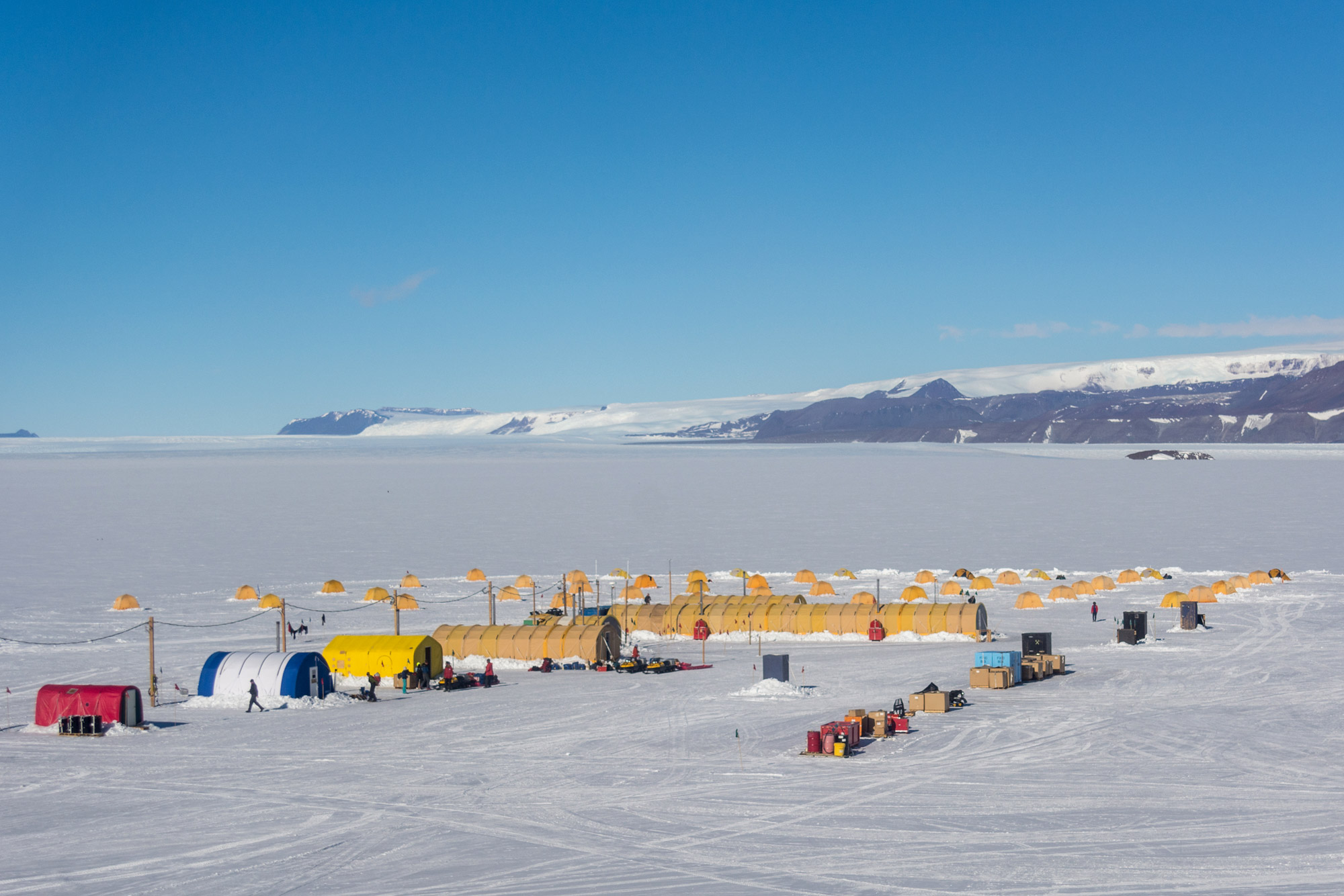
Shackleton Glacier field camp, Jan 2018.

A large aircraft takes off from the Shackleton Glacier in Nov 2007 using JATO rockets to assist take-off on a short run-way.
Source of the Maps
Topographic Reconnaissance maps of Antarctica. Originally published at 1:250,000-scale by the U.S. Geological Survey in cooperation with the National Science Foundation.
Picture credits: Liv Nunataks by Kristan Hutchison - NSF / Shackleton Glacier by Mike Lucibella - NSF / Liv Glacier and R4D by Jim Waldron - NSF / Shackleton Glacier field camp by Mike Lucibella - NSF / Shackleton Glacier, JATO by Charles Kaminski - NSF.